V–L decomposition of a novel full-waveform lidar system based on virtual instrument technique
Xu Fan† , Wang Yuan-Qing‡
, Wang Yuan-Qing‡ 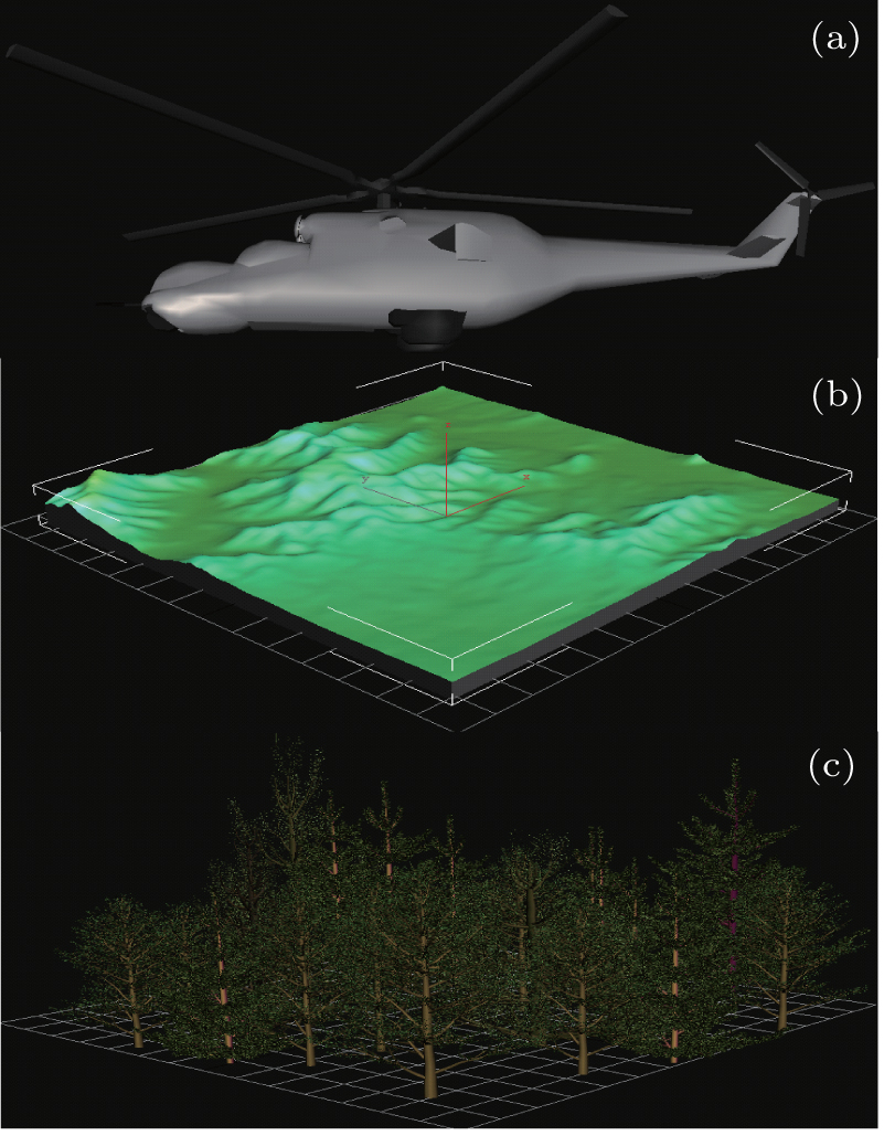
V–L decomposition of a novel full-waveform lidar system based on virtual instrument technique |
|
Xu Fan†
, Wang Yuan-Qing‡ |
| (a) 3D models of aircraft. It is designed to represent the airborne laser platform, which is located above the terrain and moves with the laser scanning. (b) 3D model of terrain. It is acquired from GIS system via a certain longitude and latitude, which contains geographic distribution data around the Earth. (c) 3D model of vegetation. It is designed to construct the forested areas representing the non-ground objects above the terrain. Appropriate location, height, branch parameters, density, and many other parameters for single tree need to be determined. |
| |